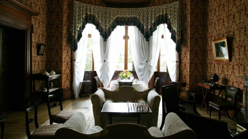
Image: Elizabeth Bay House. City of Sydney Archives: Unique ID: A-00064192
Where is it?
An important first step in researching a property is to locate it within the current City of Sydney local government area (LGA).
There are several things you need to know about your building before you can start using the historical records efficiently:
- your street name and house number (be aware that street names and numbering sometimes change over time)
- your municipality and ward
- the county and parish in which you live (most useful for land title research)
Street names and house numbers
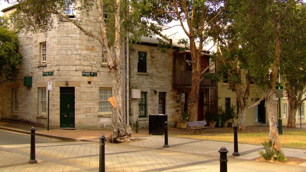
Street names and numbering sometimes change over time. You can check for altered street names on the Sydney street names guide.
Changes in street numbering will become clearer as you proceed with your research.
Former municipalities
From the time the City of Sydney was incorporated in 1842 its boundaries have expanded and shrunk in an endless game of political football played by the colonial and state governments. In 1842 the area covered by the City of Sydney was just over 11.5 square kilometres. In 1989 it was reduced to its smallest size of just over 6 square kilometres. Today (2015) it is 25 square kilometres.
From 1842 until the early 20th century, the original boundaries remained the same, except for an expansion to take in Moore Park in 1870. Around the edges of the city centre, suburban areas were incorporated as municipal councils from 1859 through the 1860s. Changes to Sydney Municipal Council’s boundaries as a result of taking over responsibility for these suburban areas began in 1909.
You need to know which municipality your home has been part of in order to access the right records. See Council boundaries for a timeline and maps that can be used to establish whether your house was once in a different municipality. If it was in a different municipality, then make a note of when. This information may lead you to investigate the records of councils other than the City of Sydney.
Camperdown, Glebe, Darlington, Newtown, Erskineville, Alexandria, Waterloo, Redfern and Paddington were all once separate municipalities. While all of these former municipalities are now wholly or partially within the City of Sydney LGA, many of them were also once part of other local government areas including South Sydney, Leichhardt and Marrickville.
Wards
For many years the City of Sydney and the other municipalities were divided into wards. A ward is an electoral area, and at local elections residents and ratepayers voted for aldermen to represent them. As populations changed, ward boundaries were often adjusted. It is important to know which ward your property was in at different times.
An interactive map allows you to establish the relevant historic wards for your property in the City of Sydney municipality over time. You can also access a static map series of ward boundaries.
For amalgamated municipalities, you can determine the wards by looking at the municipal maps in the Higinbotham & Robinson Atlas of the suburbs of Sydney.
Before you start
Before you start researching your house history, there are a few things you should do.
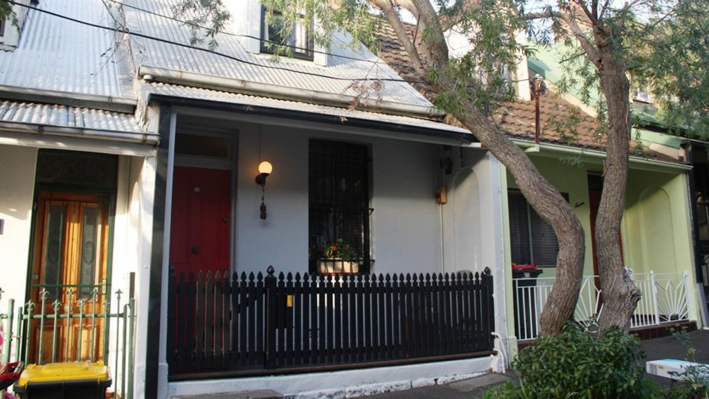
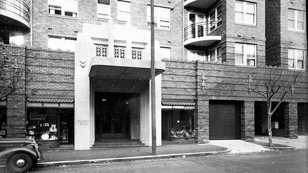
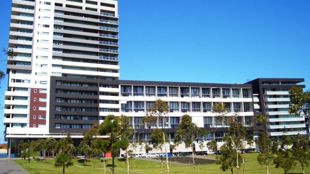
First, establish the approximate age of your house through its architectural style.
Secondly, take time to talk to the neighbours – you will never know what they know unless you ask.
And finally, find out some of the local history of your area. This will give you an understanding of how your local area developed and why your home was built there. A good place to start is the More House History Resources page.
A few other questions
Was your house always a house? Was there a time when it was subdivided into flats or run as a boarding house? Was it originally a warehouse or factory? Different uses generate different kinds of records.
Was your house or apartment the first one on the site? If your house is an old house, it is possible there were older structures on the site before it was built, especially in areas like Surry Hills, Darlinghurst, Chippendale and Darlington.
Your house in context
Some will only want to know about the previous owners and occupants of their house, while others want to know about structural alterations, additions and demolitions. As you start research, you may want to know more about the character of the area, the street and the neighbourhood. If you read some background history of your area, you will be surprised how much easier it will be to make sense of the specific information you find about your own house.
Check out the City of Sydney’s library catalogue for published histories of your suburb. The Archives and History Resources catalogue lists conservation management plans and heritage studies for houses and apartments throughout the City of Sydney local government area. If these exist for your home, or for places near where you live, they will provide useful historical context.
The City’s historians have also curated a series of Trove lists for suburbs within the City of Sydney. These lists bring together a range of source material, published and digitised, providing a good overview of each suburb. Access these suburb lists through More House History Resources.
